
Canal Depth Guide — Punta Gorda Isles and Burnt Store Isles
Canal depth is one of the most critical — and most misunderstood — factors when buying a waterfront home in Punta Gorda Isles or Burnt Store Isles. This guide explains what canal depths buyers need to know, how to verify them, and what different vessels require.
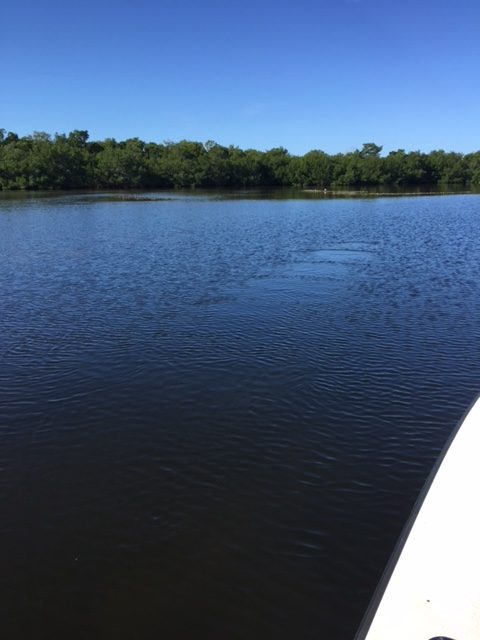
What Are Typical Canal Depths in Punta Gorda Isles?
Canal depths in PGI at the dock typically run 6–10 feet at mean low water (MLW). The Ponce de Leon channel connecting PGI to Charlotte Harbor runs approximately 8–12 feet. Interior canal depths vary significantly by location — some canals near the harbor entrance are deeper, while canals further into the interior grid may be shallower. Buyers should request actual depth soundings for the specific dock location, not rely on general neighborhood descriptions.
What Are Typical Canal Depths in Burnt Store Isles?
BSI canal depths in sailboat-access sections typically run 7–10 feet at MLW at the dock. The route from BSI canals to Charlotte Harbor passes through the Peace River corridor, which runs 8–12 feet in the main channel. Alligator Creek, an alternate route from some BSI locations, has had variable depths and has been subject to dredging discussions over the years.
What Is Mean Low Water and Why Does It Matter?
Mean low water (MLW) is the average height of low tides at a given location. Canal depth quoted at MLW represents the worst-case navigable depth at your dock — the shallowest water you will routinely encounter. Tidal range in Charlotte Harbor is approximately 2–3 feet, meaning at high tide you will have 2–3 feet more depth than at MLW. All vessel draft comparisons should be made against MLW depth to ensure safe navigation at all tide stages.
How Do I Verify Canal Depth Before Buying a Waterfront Home?
The most reliable methods: (1) Hire a marine inspector who will take actual depth soundings at the dock and along the canal route. (2) Ask the seller for any existing depth surveys. (3) Check NOAA nautical charts for the general area — they show channel depths but not individual dock locations. (4) Visit the property at low tide and observe the waterline. (5) Talk to neighbors who know the specific canal’s history. Never rely solely on MLS descriptions — “sailboat access” in MLS listings is self-reported by sellers and not independently verified.
What Depth Do I Need for My Vessel?
As a general rule, add 1–2 feet of safety margin to your vessel’s draft when evaluating canal depth at MLW. A sailboat with a 5-foot draft needs at least 6–7 feet at MLW to navigate safely. Catamarans with twin shallow drafts (typically 3–4 feet) have a significant advantage in BSI and PGI canals. Boats with drafts exceeding 6 feet require careful individual property vetting and may need to choose tides for coming and going.
What Is Alligator Creek and How Does It Affect BSI Access?
Alligator Creek is a natural waterway that connects some BSI canals to Charlotte Harbor via an alternate route. Depths in Alligator Creek have historically been shallower than the main channel and subject to shoaling. Some BSI boaters use Alligator Creek as a shortcut; others avoid it due to depth concerns. Buyers of properties that would route through Alligator Creek should verify current depths with a marine inspector before purchase.
Need help verifying canal depth for a specific BSI or PGI property? The Uzar Team works with qualified marine inspectors and knows the canals personally. Call Patty at (678) 850-4091 or contact us here.
BSI & PGI Waterfront Resource Center
▸ Sailboat Access Homes — BSI
▸ Canal Depth Guide
▸ Fake Sailboat Listings — How to Spot
▸ Boat Ride Times to Charlotte Harbor
▸ Sailing Charlotte Harbor Guide
▸ Sailboat Draft Guide
▸ Seawall Guide
▸ Dock & Boat Lift Guide
▸ Waterfront Inspection Checklist
▸ Punta Gorda Isles Real Estate
▸ Burnt Store Isles Home Values
▸ Waterfront Buyer’s Guide
▸ Free Home Valuation